Hurricane Erin Brings Tropical Storm Conditions to Outer Banks and Virginia
Hurricane Erin brings tropical storm conditions, flooding, and damage to North Carolina's Outer Banks and Virginia, with warnings issued for dangerous waves and rip currents.
 NBC News
Hurricane Erin moving away from the East Coast as Category 2 storm
 BBC News
Hurricane Erin to drench parts of Virginia while brushing US east coast

 CBN
CBNHurricane Erin Causing US East Coast Flooding, Evacuations, but Still Stays Offshore

 Boston Herald
Hurricane Erin stirs up strong winds and floods part of a NC highway as it slowly moves out to sea

 USA TODAY
Hurricane Erin reaches closest approach to NC; dangers remain to East Coast: Updates
Overview
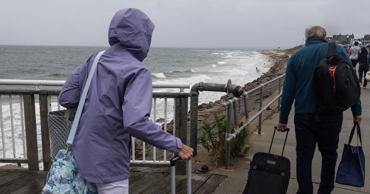
Tropical storm conditions, linked to Hurricane Erin, are currently affecting parts of North Carolina's Outer Banks and Virginia, with impacts expected to continue through Thursday.
Hurricane Erin has caused flooding and damage in North Carolina's Outer Banks as it moves away, prompting concerns for coastal infrastructure and residents.
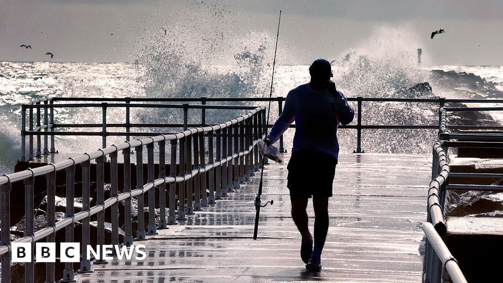
Warnings have been issued urging people to avoid the water due to strong waves and dangerous rip currents, a direct result of Hurricane Erin's powerful effects.
Erin was last located approximately 205-210 miles east of Cape Hatteras, North Carolina, moving north-northeast at a speed of 17 mph, according to reports.
The National Hurricane Center continues to monitor Hurricane Erin's trajectory and its ongoing tropical storm conditions, providing crucial updates for affected areas.
Analysis
Center-leaning sources cover Hurricane Erin's impact by focusing on official warnings, current conditions, and immediate dangers. They present factual information from meteorological agencies and local authorities, providing a comprehensive overview without employing loaded language or selective emphasis. The reporting remains objective, detailing the storm's effects and necessary precautions.