Tropical Storm Erin Nears Hurricane Strength, Prompts Watches Across Caribbean
Tropical Storm Erin, with 70 mph winds, nears hurricane strength, prompting watches for northern Leeward Islands, Puerto Rico, and Virgin Islands. Heavy rainfall and dangerous surf are expected.
 New York Sun
Hurricane Erin Strengthens to Dangerous Category 4 Storm but Is Likely To Spare American Mainland
 BBC News
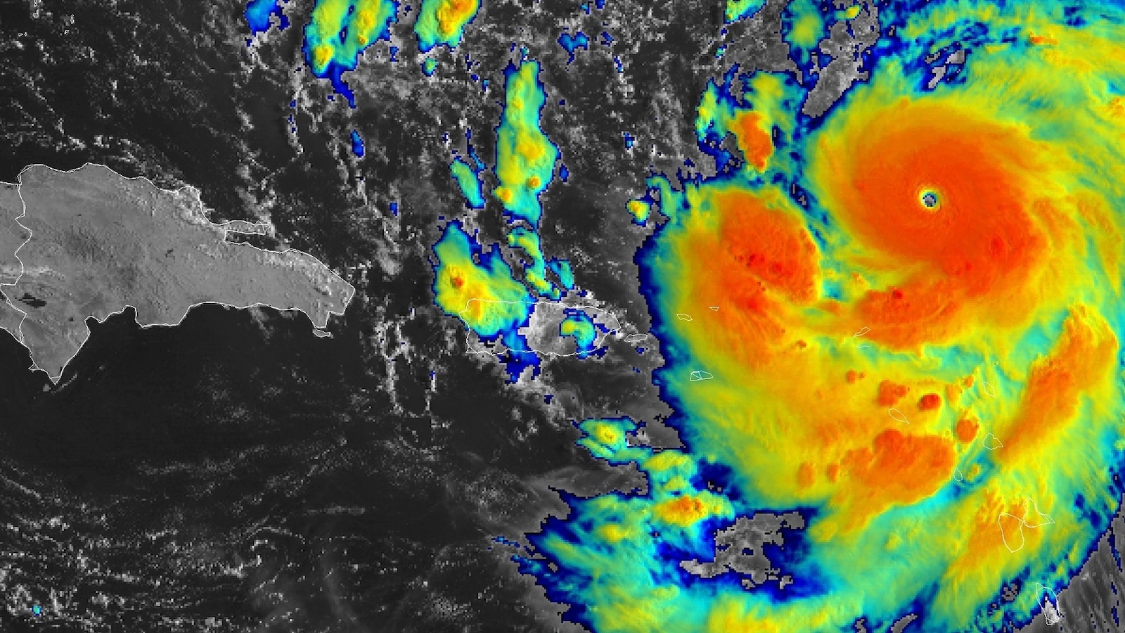
Hurricane Erin rapidly intensifies to category five storm
 ABC News
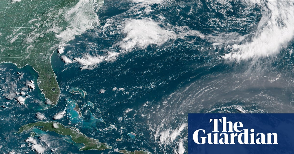
Hurricane Erin tracker: Latest path, maps for 1st hurricane of Atlantic season
 The Guardian
Hurricane Erin gathers force as it nears Leeward Islands
Overview
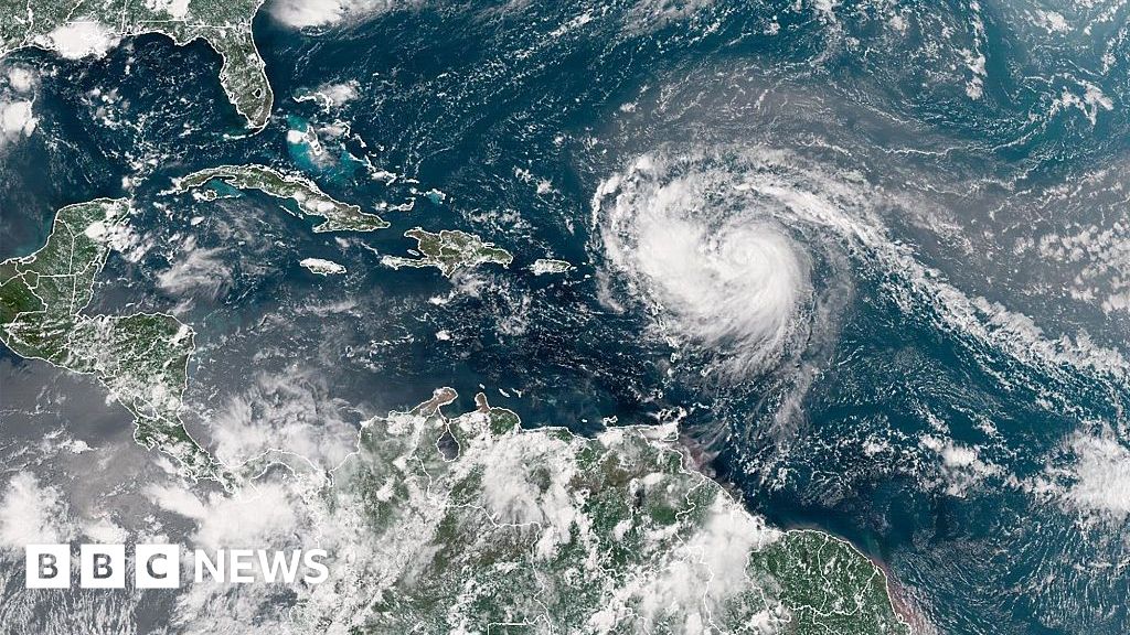
Tropical Storm Erin, the fifth named storm of the Atlantic hurricane season, currently boasts maximum sustained winds of 70 mph, nearing hurricane strength as it progresses.
The storm is moving west-northwest at 17 mph and is projected to intensify further, with forecasters anticipating its upgrade to a hurricane in the near future.
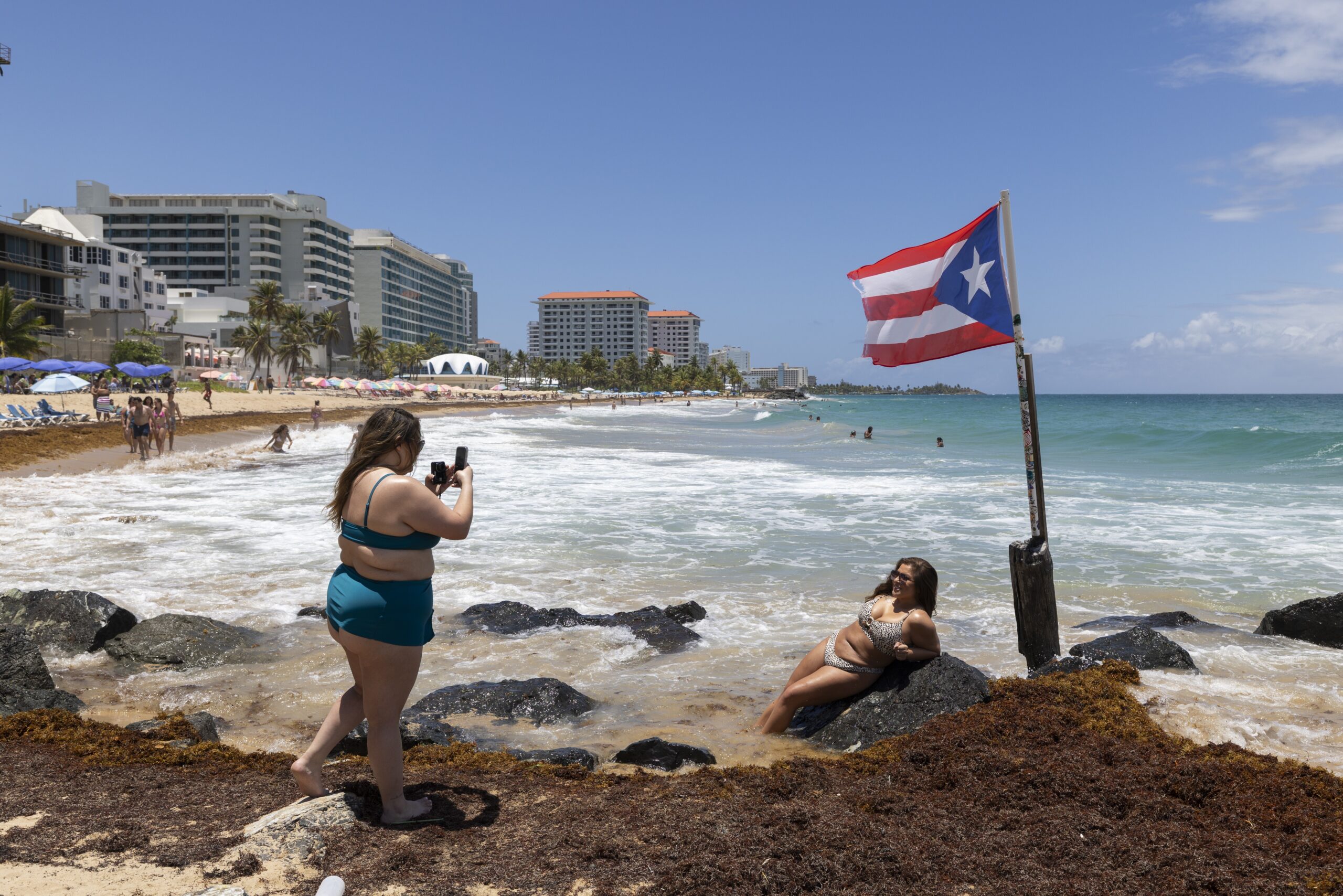
Tropical storm watches have been issued for the northern Leeward Islands, Puerto Rico, and both the U.S. and British Virgin Islands, indicating potential impacts.
Erin is expected to deliver significant rainfall, with 2 to 4 inches across affected areas and up to 6 inches in isolated regions, raising flood concerns.
Residents in watch areas should prepare for heavy rains, dangerous surf, and strong rip currents, with conditions expected through the upcoming weekend.
Analysis
Center-leaning sources provide straightforward, factual reporting on Hurricane Erin, focusing on its meteorological characteristics and potential impacts. They consistently cite official bodies like the National Hurricane Center, presenting data on wind speeds, storm categories, and projected paths without employing loaded language or emphasizing particular narratives beyond public safety information.